
Publikationen

Die Mitglieder des inter- und transdisziplinären Förderschwerpunkts »Nachhaltige Entwicklung urbaner Regionen« veröffentlichen ihre Forschungsergebnisse an den verschiedensten, für die jeweiligen Forschungen und Praxisanwendungen geeigneten Publikationsorten. Neben den eigenständigen Projektergebnissen gibt der Förderschwerpunkt verschiedene eigene Publikationsformate heraus, in denen die internationalen Wissenschaftlerinnen und Wissenschaftler von SURE publizieren.

Eine zeitlich geordnete Auswahl von SURE-bezogenen Veröffentlichungen finden Sie hier. Haben Sie Interesse an einer umfassenden Auflistung, freuen wir uns zudem über Ihren Besuch der individuellen Seiten der SURE-Verbundprojekte!

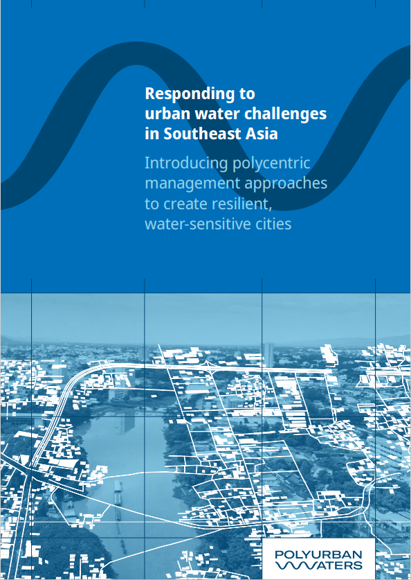
Responding to Urban Water Challenges in Southeast Asia: Introducing Polycentric Management Approaches to Create Resilient, Water-Sensitive Cities

Publiktion PolyUrbanWaters

Cities in Southeast Asia (SEA) are exceedingly diverse, ranging from hubs of the global economy to small marketplaces in remote areas. Most countries in SEA, despite large regional disparities at the beginning of the 2020s, have made significant achievements on a number of indicators in the Agenda 2030 Sustainable Development Goal (SDGs) framework. For example, significant progress has been made in achieving SDG 4 (quality education) and SDG 9 (industry, innovation and infrastructure). The region has also achieved considerable success on the SDG 6 (clean water and sanitation) indicator for “Access to safe drinking water services” in the last decade. However, little progress has been made on almost all other water-related subgoals, as is also the case with SDG 11 (sustainable cities and communities) and SDG 13 (climate action) [1].

The success of Agenda 2030 will mainly be decided in cities. By 2050, nearly 70% of humans are expected to live in urban areas, making urbanization one of the 21st century’s most transformative trends, and intensifying the economic, social, environmental and cultural challenges and opportunities. In its shared vision for a better and more sustainable future, the New Urban Agenda (NUA) underlines the importance of water for the development of cities and human settlements. Urban planning processes should incorporate integrated water resources planning and management, considering urban-rural linkages, at the local and territorial scales, ensuring the participation of multiple sectors, stakeholders, and communities. The NUA calls for strengthening the role of small and intermediate cities in enhancing food security and nutrition systems, providing access to sustainable, affordable, adequate, resilient, and safe housing, infrastructure and basic needs services, and facilitating effective trade links across the urban-rural continuum [2].
Many secondary and tertiary cities and towns in SEA are experiencing rapid but quite often insufficiently planned and managed developments which result in major challenges: the sustainable protection of water resources; the reduction of vulnerability to climate change and disaster risks; and the effective provision of water-related public services for all citizens. In other words, they are struggling to establish more livable, climate change-resilient and inclusive cities. Often insufficiently equipped with institutional capacities, effective management and financing models, adequate administrative mandates and effective procedures, many city administrations in SEA find it difficult to develop and maintain efficient and sustainable water infrastructure, to ensure the comprehensive provision of water related public services, and to protect their water resources. Furthermore, the impact of the COVID-19 pandemic on urban residents has drawn more attention to the spatial and socio-economic aspects of cities [3].
Weiterlesen

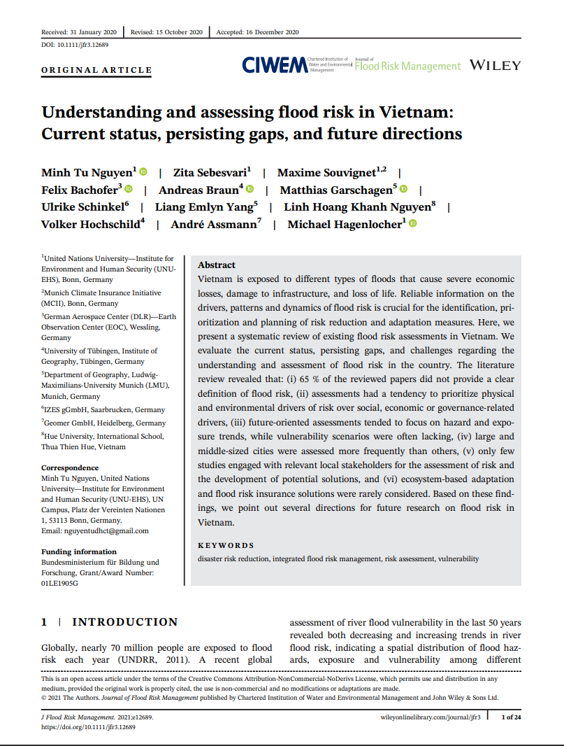
Understanding and Assessing Flood Risk in Vietnam: Current Status, Persisting Gaps, and Future Directions

FloodAdapt Publikation

Vietnam is exposed to different types of floods that cause severe economic losses, damage to infrastructure, and loss of life. Reliable information on the drivers, patterns and dynamics of flood risk is crucial for the identification, prioritization and planning of risk reduction and adaptation measures. Here, we present a systematic review of existing flood risk assessments in Vietnam.

We evaluate the current status, persisting gaps, and challenges regarding the understanding and assessment of flood risk in the country. The literature review revealed that: (i) 65 % of the reviewed papers did not provide a clear definition of flood risk, (ii) assessments had a tendency to prioritize physical and environmental drivers of risk over social, economic or governance-related drivers, (iii) future-oriented assessments tended to focus on hazard and exposure trends, while vulnerability scenarios were often lacking, (iv) large and middle-sized cities were assessed more frequently than others, (v) only few studies engaged with relevant local stakeholders for the assessment of risk and the development of potential solutions, and (vi) ecosystem-based adaptation and flood risk insurance solutions were rarely considered. Based on these findings, we point out several directions for future research on flood risk in Vietnam.

Weiterlesen

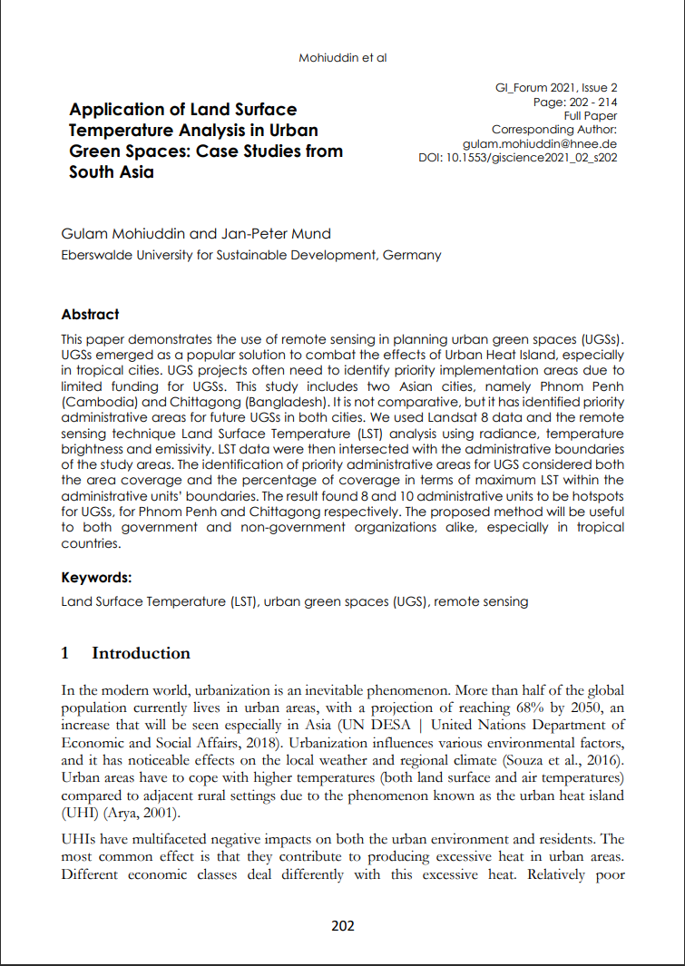
Application of Land Surface Temperature Analysis in Urban Green Spaces: Case Studies from South Asia

Publikation 2021 Build4People

This paper demonstrates the use of remote sensing in planning urban green spaces (UGSs). UGSs emerged as a popular solution to combat the effects of Urban Heat Island, especially in tropical cities. UGS projects often need to identify priority implementation areas due to limited funding for UGSs. This study includes two Asian cities, namely Phnom Penh (Cambodia) and Chittagong (Bangladesh). It is not comparative, but it has identified priority
administrative areas for future UGSs in both cities.

We used Landsat 8 data and the remote sensing technique Land Surface Temperature (LST) analysis using radiance, temperature brightness and emissivity. LST data were then intersected with the administrative boundaries of the study areas. The identification of priority administrative areas for UGS considered both the area coverage and the percentage of coverage in terms of maximum LST within the administrative units’ boundaries. The result found 8 and 10 administrative units to be hotspots for UGSs, for Phnom Penh and Chittagong respectively. The proposed method will be useful to both government and non-government organizations alike, especially in tropical countries.

Weiterlesen

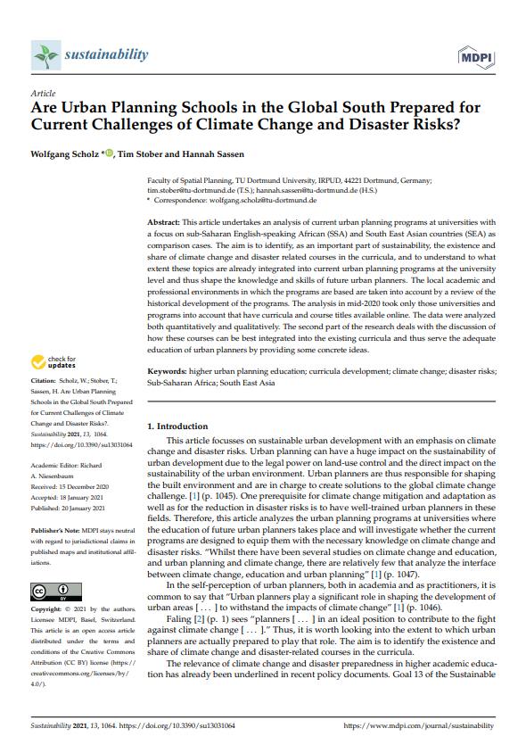
Are Urban Planning Schools in the Global South Prepared for Current Challenges of Climate Change and Disaster Risks?

LIRLAP Publikation

This article undertakes an analysis of current urban planning programs at universities with a focus on sub-Saharan English-speaking African (SSA) and South East Asian countries (SEA) as comparison cases. The aim is to identify, as an important part of sustainability, the existence and share of climate change and disaster related courses in the curricula, and to understand to what extent these topics are already integrated into current urban planning programs at the university level and thus shape the knowledge and skills of future urban planners.

The local academic and professional environments in which the programs are based are taken into account by a review of the historical development of the programs. The analysis in mid-2020 took only those universities and programs into account that have curricula and course titles available online. The data were analyzed both quantitatively and qualitatively. The second part of the research deals with the discussion of how these courses can be best integrated into the existing curricula and thus serve the adequate education of urban planners by providing some concrete ideas.

Weiterlesen

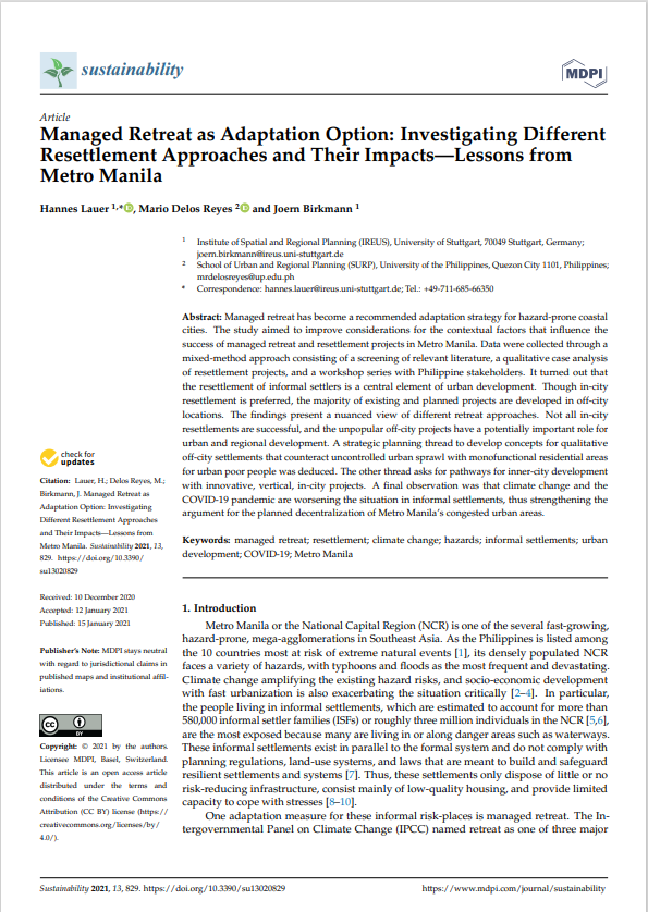
Managed Retreat as Adaptation Option: Investigating Different Resettlement Approaches and Their Impacts – Lessons from Metro Manila

LIRLAP Publikation

Managed retreat has become a recommended adaptation strategy for hazard-prone coastal cities. The study aimed to improve considerations for the contextual factors that influence the success of managed retreat and resettlement projects in Metro Manila. Data were collected through a mixed-method approach consisting of a screening of relevant literature, a qualitative case analysis of resettlement projects, and a workshop series with Philippine stakeholders. It turned out that the resettlement of informal settlers is a central element of urban development. Though in-city resettlement is preferred, the majority of existing and planned projects are developed in off-city locations.

The findings present a nuanced view of different retreat approaches. Not all in-city resettlements are successful, and the unpopular off-city projects have a potentially important role for urban and regional development. A strategic planning thread to develop concepts for qualitative off-city settlements that counteract uncontrolled urban sprawl with monofunctional residential areas for urban poor people was deduced. The other thread asks for pathways for inner-city development with innovative, vertical, in-city projects. A final observation was that climate change and the COVID-19 pandemic are worsening the situation in informal settlements, thus strengthening the argument for the planned decentralization of Metro Manila’s congested urban areas.

Weiterlesen

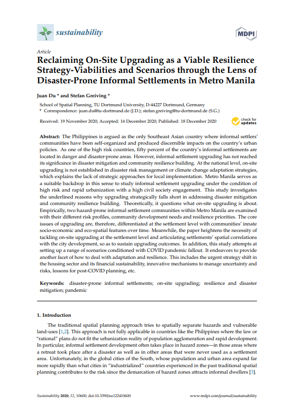
Reclaiming On-Site Upgrading as a Viable Resilience Strategy-Viabilities and Scenarios through the Lens of Disaster-Prone Informal Settlements in Metro Manila

LIRLAP Publikation

The Philippines is argued as the only Southeast Asian country where informal settlers’ communities have been self-organized and produced discernible impacts on the country’s urban policies. As one of the high risk countries, fifty percent of the country’s informal settlements are located in danger and disaster-prone areas. However, informal settlement upgrading has not reached its significance in disaster mitigation and community resilience building. At the national level, on-site upgrading is not established in disaster risk management or climate change adaptation strategies, which explains the lack of strategic approaches for local implementation. Metro Manila serves as a suitable backdrop in this sense to study informal settlement upgrading under the condition of high risk and rapid urbanization with a high civil society engagement.

This study investigates the underlined reasons why upgrading strategically falls short in addressing disaster mitigation and community resilience building. Theoretically, it questions what on-site upgrading is about. Empirically, two hazard-prone informal settlement communities within Metro Manila are examined with their different risk profiles, community development needs and resilience priorities. The core issues of upgrading are, therefore, differentiated at the settlement level with communities’ innate socio-economic and eco-spatial features over time. Meanwhile, the paper heightens the necessity of tackling on-site upgrading at the settlement level and articulating settlements’ spatial correlations with the city development, so as to sustain upgrading outcomes. In addition, this study attempts at setting up a range of scenarios conditioned with COVID pandemic fallout. It endeavors to provide another facet of how to deal with adaptation and resilience. This includes the urgent strategy shift in the housing sector and its financial sustainability, innovative mechanisms to manage uncertainty and risks, lessons for post-COVID planning, etc.

Weiterlesen

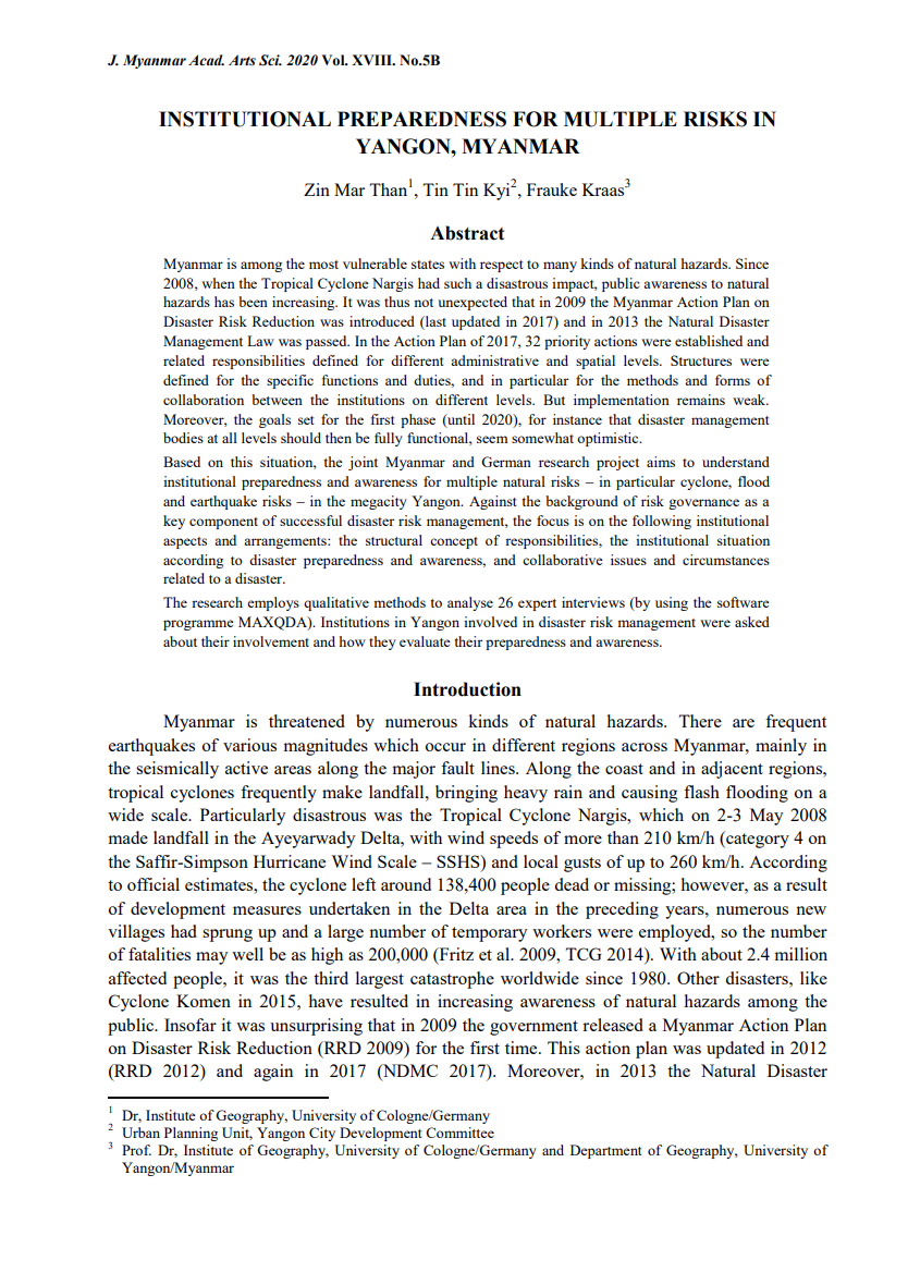
Institutional Preparedness for Multiple Risks in Yangon/Myanmar

Publikation MYrisk Disaster Preparedness

Myanmar is among the most vulnerable states with respect to many kinds of natural hazards. Since 2008, when the Tropical Cyclone Nargis had such a disastrous impact, public awareness to natural hazards has been increasing. It was thus not unexpected that in 2009 the Myanmar Action Plan on Disaster Risk Reduction was introduced (last updated in 2017) and in 2013 the Natural Disaster Management Law was passed. In the Action Plan of 2017, 32 priority actions were established and related responsibilities defined for different administrative and spatial levels. Structures were defined for the specific functions and duties, and in particular for the methods and forms of collaboration between the institutions on different levels. But implementation remains weak. Moreover, the goals set for the first phase (until 2020), for instance that disaster management bodies at all levels should then be fully functional, seem somewhat optimistic.


Based on this situation, the joint Myanmar and German research project aims to understand institutional preparedness and awareness for multiple natural risks – in particular cyclone, flood and earthquake risks – in the megacity Yangon. Against the background of risk governance as a key component of successful disaster risk management, the focus is on the following institutional aspects and arrangements: the structural concept of responsibilities, the institutional situation according to disaster preparedness and awareness, and collaborative issues and circumstances related to a disaster.
The research employs qualitative methods to analyse 26 expert interviews (by using the software programme MAXQDA). Institutions in Yangon involved in disaster risk management were asked about their involvement and how they evaluate their preparedness and awareness.

Weiterlesen

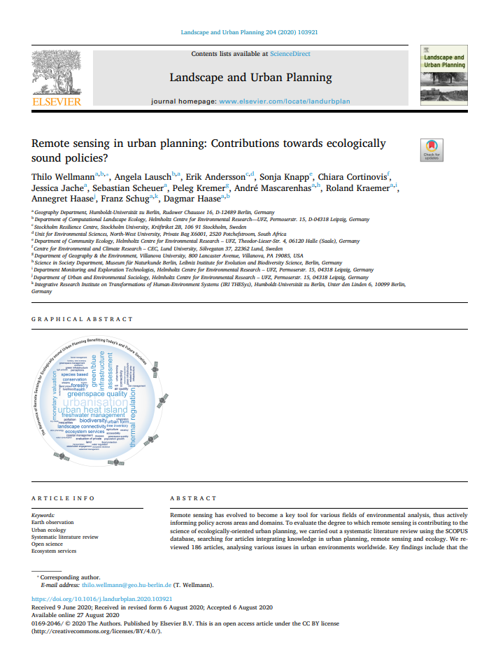
Remote sensing in urban planning: Contributions towards ecologically sound policies?

Publikation

Remote sensing has evolved to become a key tool for various fields of environmental analysis, thus actively informing policy across areas and domains. To evaluate the degree to which remote sensing is contributing to the science of ecologically-oriented urban planning, we carried out a systematic literature review using the SCOPUS database, searching for articles integrating knowledge in urban planning, remote sensing and ecology. We reviewed 186 articles, analysing various issues in urban environments worldwide.

Key findings include that the level of integration between the three disciplines is limited, with only 12% of the papers fully integrating ecology, remote sensing and planning while 24% of the studies use specific methods from one domain only. The vast majority of studies is oriented towards contributing to the knowledge base or monitoring the impacts of existing policies. Few studies are directly policy relevant by either contributing to direct issues in planning and making specific design suggestions or evaluations. The accessibility of the scientific findings remains limited, as the majority of journal articles are not open access and proprietary software and data are frequently used. To overcome these issues, we suggest three future avenues for science as well as three potential entry points for remote sensing into applied urban planning. By doing so, remote sensing data could become a vital tool actively contributing to policies, civil engagement and concrete planning measures by providing independent and cost effective environmental analyses.

Weiterlesen