Publications

The members of the inter- and transdisciplinary funding priority »Sustainable Development of Urban Regions« publish their research results in various types of publication, that are appropriate for the respective research and implementation. In addition, the funding priority itself issues different formats of publication in which the international researchers of SURE publish their results.

A chronologically ordered selection of SURE related publications can be found here. If you are interested in a comprehensive list, please visit the individual websites of the SURE collaborative projects!
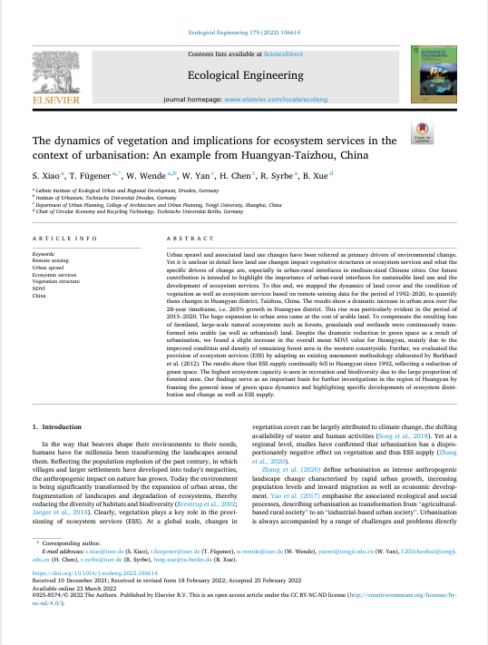
The Dynamics of Vegetation and Implications for Ecosystem Services in the Context of Urbanisation: An Example from Huangyan-Taizhou, China

The Dynamics of Vegetation and Implications for Ecosystem Services in the Context of Urbanisation: An Example from Huangyan-Taizhou, China

Urban sprawl and associated land use changes have been referred as primary drivers of environmental change. Yet it is unclear in detail how land use changes impact vegetative structures or ecosystem services and what the specific drivers of change are, especially in urban-rural interfaces in medium-sized Chinese cities. Our future contribution is intended to highlight the importance of urban-rural interfaces for sustainable land use and the development of ecosystem services.

To this end, we mapped the dynamics of land cover and the condition of vegetation as well as ecosystem services based on remote sensing data for the period of 1992–2020, to quantify these changes in Huangyan district, Taizhou, China. The results show a dramatic increase in urban area over the 28-year timeframe, i.e. 265% growth in Huangyan district. This rise was particularly evident in the period of 2015–2020. The huge expansion in urban area came at the cost of arable land. To compensate the resulting loss of farmland, large-scale natural ecosystems such as forests, grasslands and wetlands were continuously transformed into arable (as well as urbanized) land. Despite the dramatic reduction in green space as a result of urbanisation, we found a slight increase in the overall mean NDVI value for Huangyan, mainly due to the improved condition and density of remaining forest area in the western countryside. Further, we evaluated the provision of ecosystem services (ESS) by adapting an existing assessment methodology elaborated by Burkhard et al. (2012). The results show that ESS supply continually fell in Huangyan since 1992, reflecting a reduction of green space. The highest ecosystem capacity is seen in recreation and biodiversity due to the large proportion of forested area. Our findings serve as an important basis for further investigations in the region of Huangyan by framing the general issue of green space dynamics and highlighting specific developments of ecosystem distribution and change as well as ESS supply.

Read more

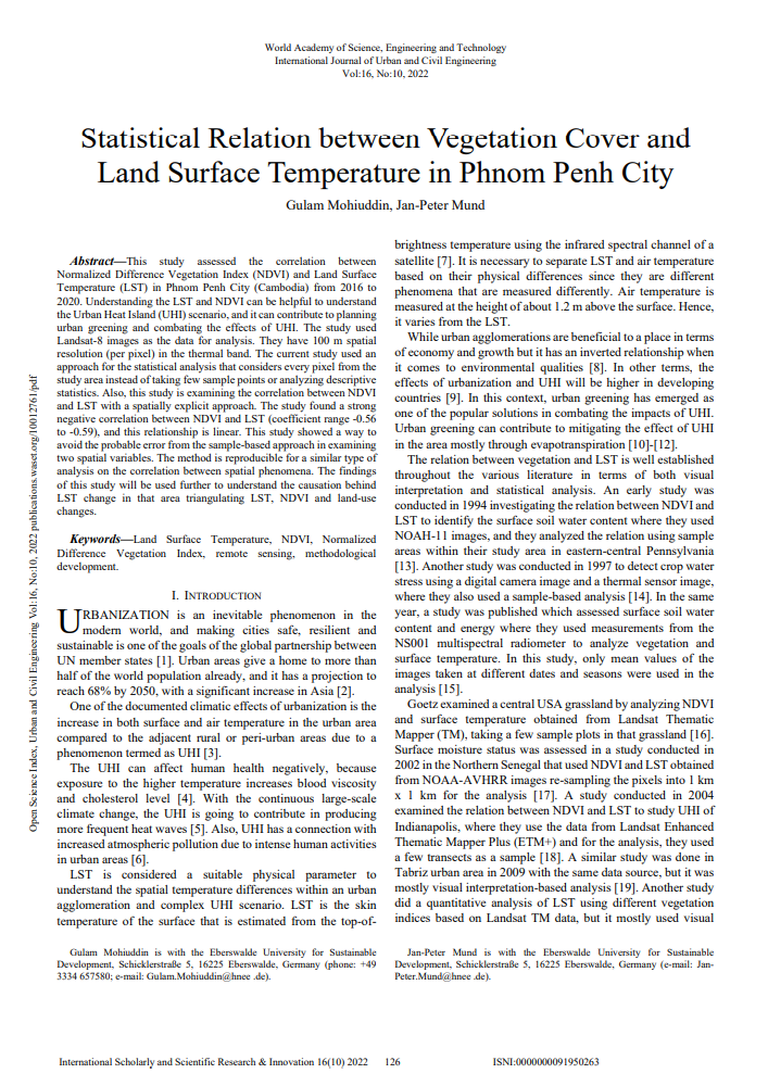
Statistical Relation between Vegetation Cover and Land Surface Temperature in Phnom Penh City

Publication

This study assessed the correlation between Normalized Difference Vegetation Index (NDVI) and Land Surface Temperature (LST) in Phnom Penh City (Cambodia) within 2016- 2020. Understanding the LST and NDVI can be helpful to understand the Urban Heat Island (UHI) scenario, and it can contribute to planning urban greening and combating the effects of UHI. The relation between NDVI and LST is a well-studied topic, and some studies focused on statistical analysis. Even though previous studies found a negative correlation between NDVI and LST, they could not agree on the magnitude of this relationship.

The study used Landsat-8 images as the data for analysis. They have 100m spatial resolution (per pixel) in the thermal band. The current study is unique as it used an approach for the statistical analysis that considers every pixel from the study area instead of taking few sample points or analyzing descriptive statistics. Also, this is the first study on this study area (Phnom Penh) examining the correlation between NDVI and LST with a spatially explicit approach. The study found a strong negative correlation between NDVI and LST (coefficient range -0.56 to -0.59), and this relationship is linear. This study showed a way to avoid the probable error from the sample-based approach in examining two spatial variables. The method is reproducible for a similar type of analysis on the correlation between spatial phenomena. The findings of this study will be used further to understand the causation behind land surface temperature change in that area triangulating LST, NDVI and land-use changes.

Read more

Responding to Urban Water Challenges in Southeast Asia: Introducing Polycentric Management Approaches to Create Resilient, Water-Sensitive Cities

Publication PolyUrbanWaters

Cities in Southeast Asia (SEA) are exceedingly diverse, ranging from hubs of the global economy to small marketplaces in remote areas. Most countries in SEA, despite large regional disparities at the beginning of the 2020s, have made significant achievements on a number of indicators in the Agenda 2030 Sustainable Development Goal (SDGs) framework. For example, significant progress has been made in achieving SDG 4 (quality education) and SDG 9 (industry, innovation and infrastructure). The region has also achieved considerable success on the SDG 6 (clean water and sanitation) indicator for “Access to safe drinking water services” in the last decade. However, little progress has been made on almost all other water-related subgoals, as is also the case with SDG 11 (sustainable cities and communities) and SDG 13 (climate action) [1].

The success of Agenda 2030 will mainly be decided in cities. By 2050, nearly 70% of humans are expected to live in urban areas, making urbanization one of the 21st century’s most transformative trends, and intensifying the economic, social, environmental and cultural challenges and opportunities. In its shared vision for a better and more sustainable future, the New Urban Agenda (NUA) underlines the importance of water for the development of cities and human settlements. Urban planning processes should incorporate integrated water resources planning and management, considering urban-rural linkages, at the local and territorial scales, ensuring the participation of multiple sectors, stakeholders, and communities. The NUA calls for strengthening the role of small and intermediate cities in enhancing food security and nutrition systems, providing access to sustainable, affordable, adequate, resilient, and safe housing, infrastructure and basic needs services, and facilitating effective trade links across the urban-rural continuum [2].
Many secondary and tertiary cities and towns in SEA are experiencing rapid but quite often insufficiently planned and managed developments which result in major challenges: the sustainable protection of water resources; the reduction of vulnerability to climate change and disaster risks; and the effective provision of water-related public services for all citizens. In other words, they are struggling to establish more livable, climate change-resilient and inclusive cities. Often insufficiently equipped with institutional capacities, effective management and financing models, adequate administrative mandates and effective procedures, many city administrations in SEA find it difficult to develop and maintain efficient and sustainable water infrastructure, to ensure the comprehensive provision of water related public services, and to protect their water resources. Furthermore, the impact of the COVID-19 pandemic on urban residents has drawn more attention to the spatial and socio-economic aspects of cities [3].

Read more

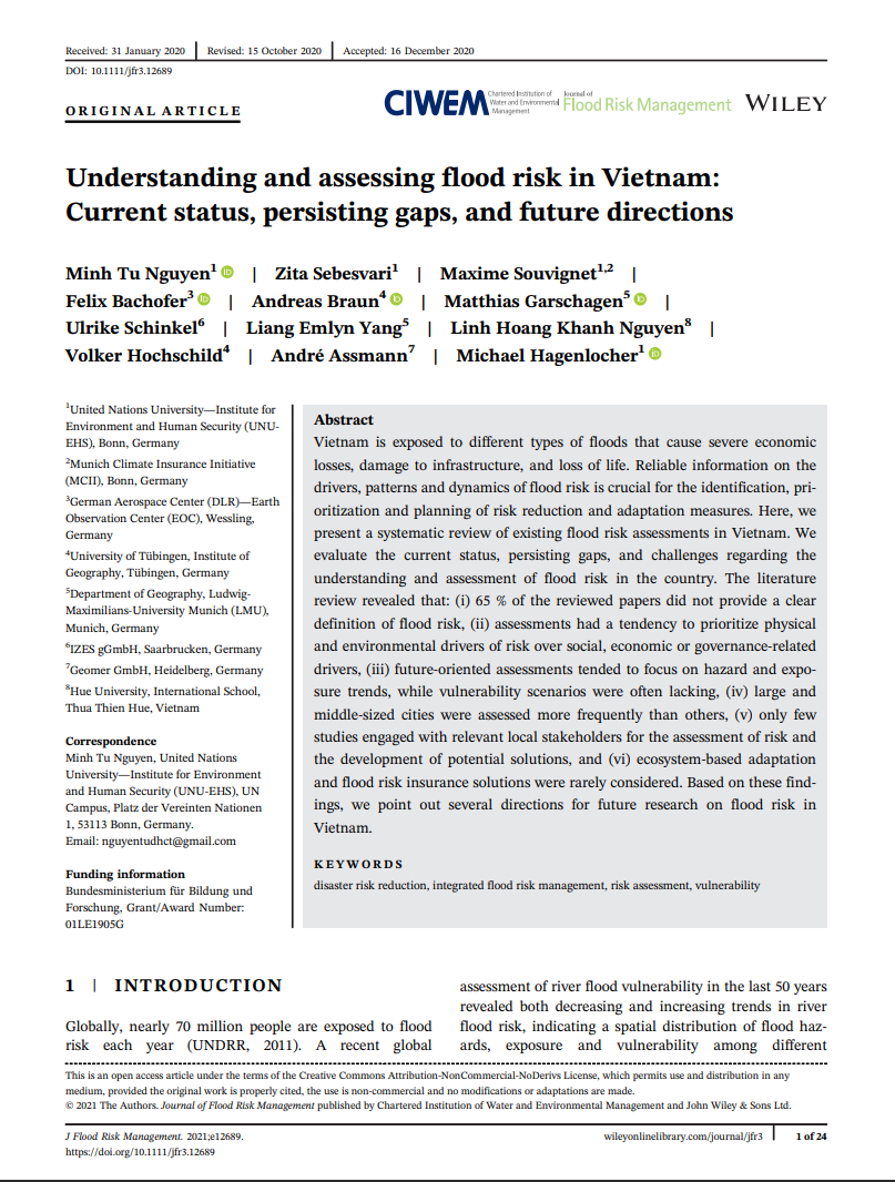
Understanding and Assessing Flood Risk in Vietnam: Current Status, Persisting Gaps, and Future Directions

FloodAdapt Publication

Vietnam is exposed to different types of floods that cause severe economic losses, damage to infrastructure, and loss of life. Reliable information on the drivers, patterns and dynamics of flood risk is crucial for the identification, prioritization and planning of risk reduction and adaptation measures. Here, we present a systematic review of existing flood risk assessments in Vietnam.

We evaluate the current status, persisting gaps, and challenges regarding the understanding and assessment of flood risk in the country. The literature review revealed that: (i) 65 % of the reviewed papers did not provide a clear definition of flood risk, (ii) assessments had a tendency to prioritize physical and environmental drivers of risk over social, economic or governance-related drivers, (iii) future-oriented assessments tended to focus on hazard and exposure trends, while vulnerability scenarios were often lacking, (iv) large and middle-sized cities were assessed more frequently than others, (v) only few studies engaged with relevant local stakeholders for the assessment of risk and the development of potential solutions, and (vi) ecosystem-based adaptation and flood risk insurance solutions were rarely considered. Based on these findings, we point out several directions for future research on flood risk in Vietnam.

Read more

Application of Land Surface Temperature Analysis in Urban Green Spaces: Case Studies from South Asia

Publication 2021 Build4People

This paper demonstrates the use of remote sensing in planning urban green spaces (UGSs). UGSs emerged as a popular solution to combat the effects of Urban Heat Island, especially in tropical cities. UGS projects often need to identify priority implementation areas due to limited funding for UGSs. This study includes two Asian cities, namely Phnom Penh (Cambodia) and Chittagong (Bangladesh). It is not comparative, but it has identified priority
administrative areas for future UGSs in both cities.

We used Landsat 8 data and the remote sensing technique Land Surface Temperature (LST) analysis using radiance, temperature brightness and emissivity. LST data were then intersected with the administrative boundaries of the study areas. The identification of priority administrative areas for UGS considered both the area coverage and the percentage of coverage in terms of maximum LST within the administrative units’ boundaries. The result found 8 and 10 administrative units to be hotspots for UGSs, for Phnom Penh and Chittagong respectively. The proposed method will be useful to both government and non-government organizations alike, especially in tropical countries.

Read more

Are Urban Planning Schools in the Global South Prepared for Current Challenges of Climate Change and Disaster Risks?

LIRLAP Publication

This article undertakes an analysis of current urban planning programs at universities with a focus on sub-Saharan English-speaking African (SSA) and South East Asian countries (SEA) as comparison cases. The aim is to identify, as an important part of sustainability, the existence and share of climate change and disaster related courses in the curricula, and to understand to what extent these topics are already integrated into current urban planning programs at the university level and thus shape the knowledge and skills of future urban planners.

The local academic and professional environments in which the programs are based are taken into account by a review of the historical development of the programs. The analysis in mid-2020 took only those universities and programs into account that have curricula and course titles available online. The data were analyzed both quantitatively and qualitatively. The second part of the research deals with the discussion of how these courses can be best integrated into the existing curricula and thus serve the adequate education of urban planners by providing some concrete ideas.

Read more